BORDERLINE

Between Friends
National Gallery Of Canada, Ottawa, November 3, 2017 - February 16, 2018
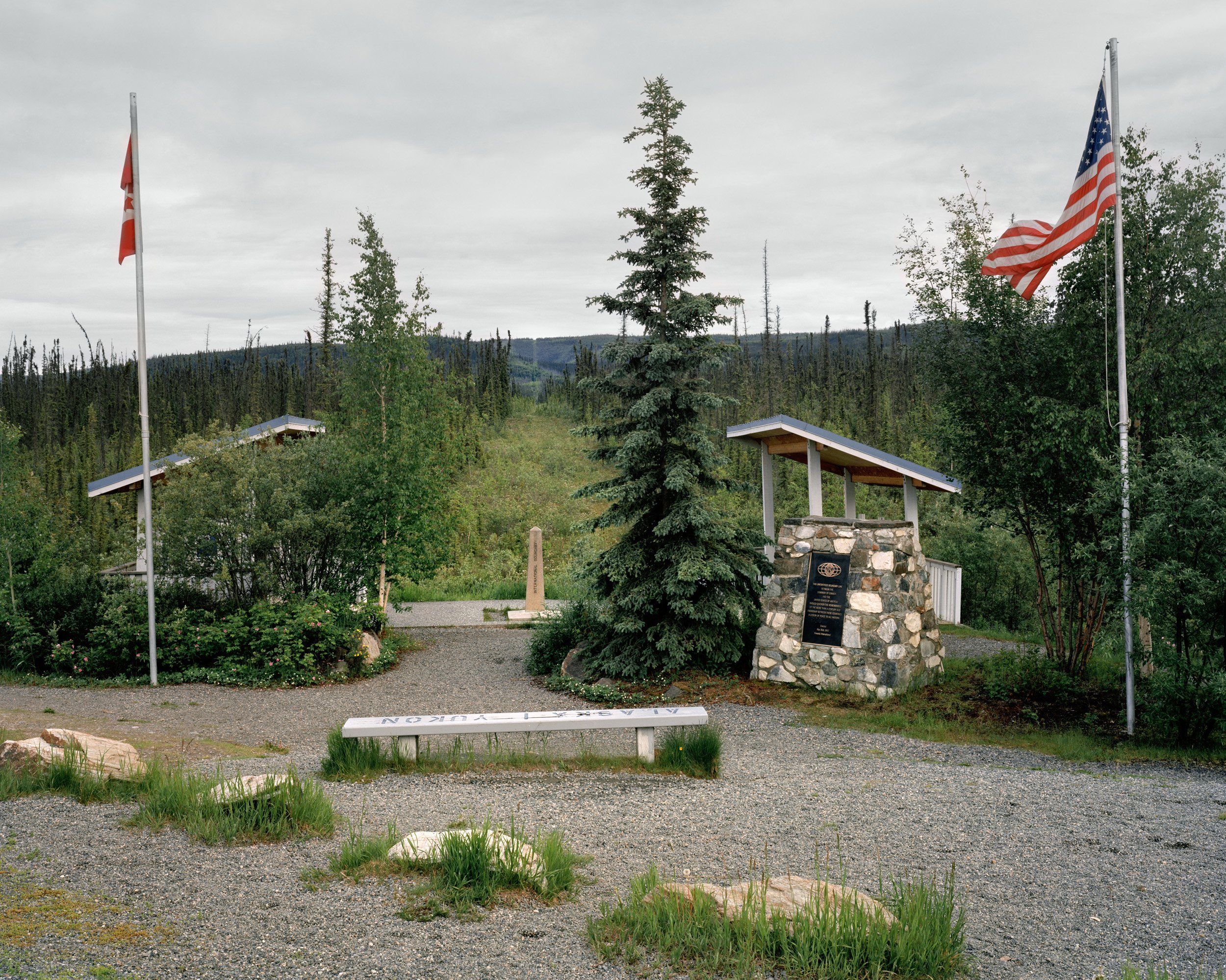
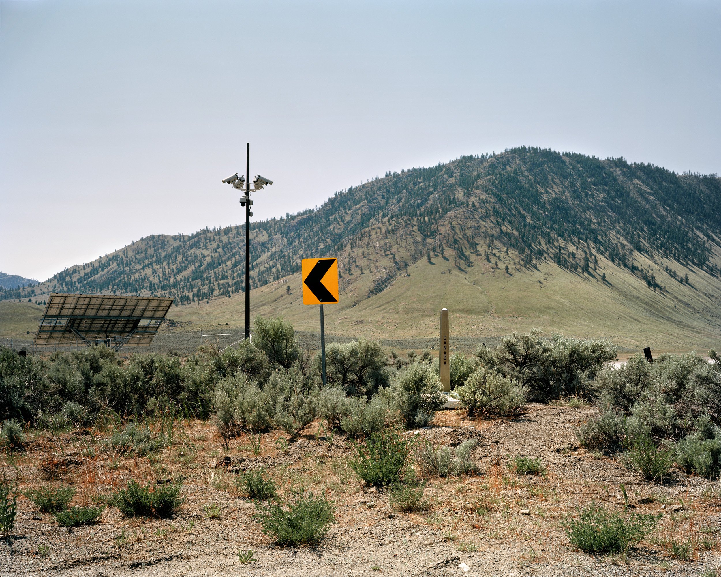
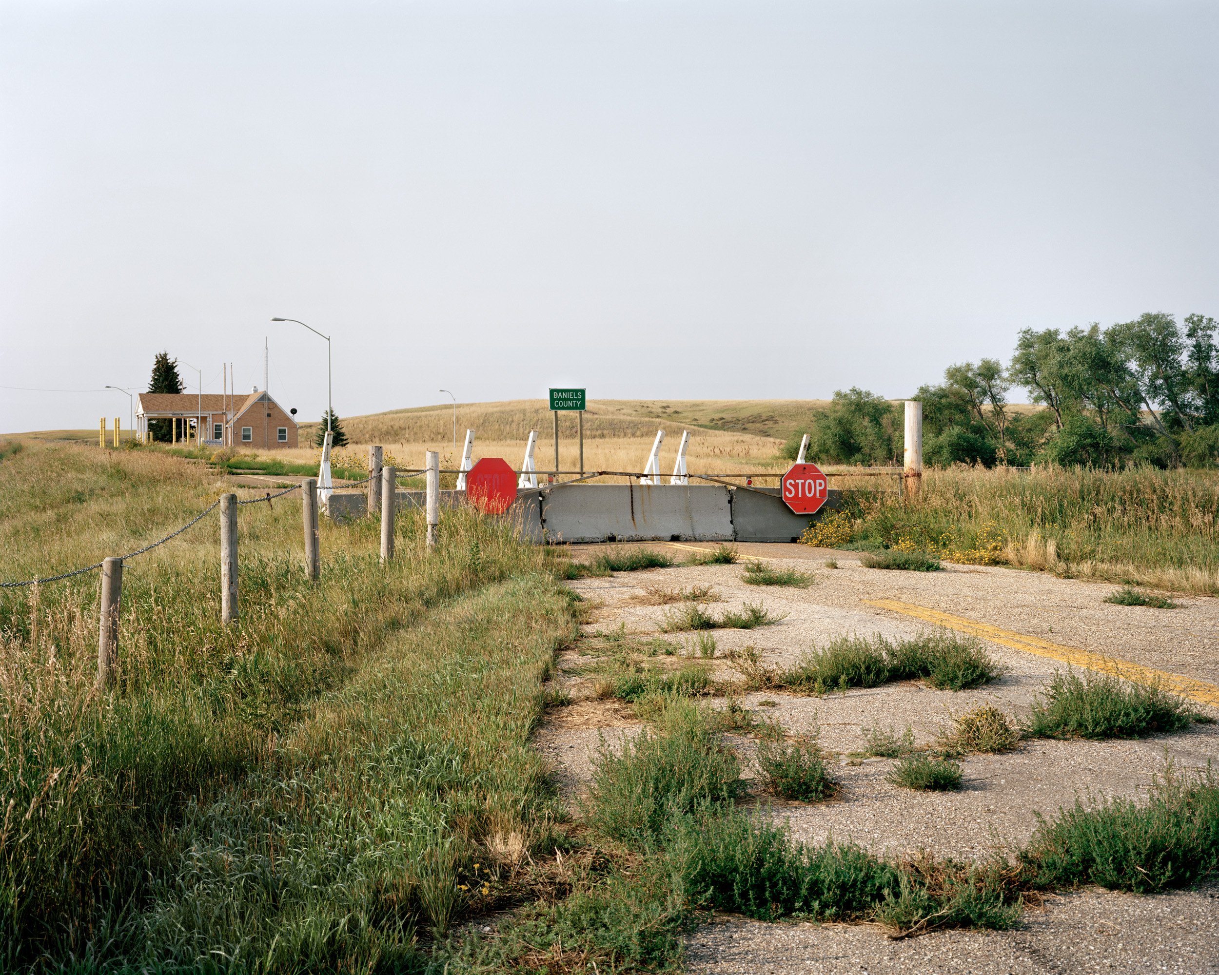
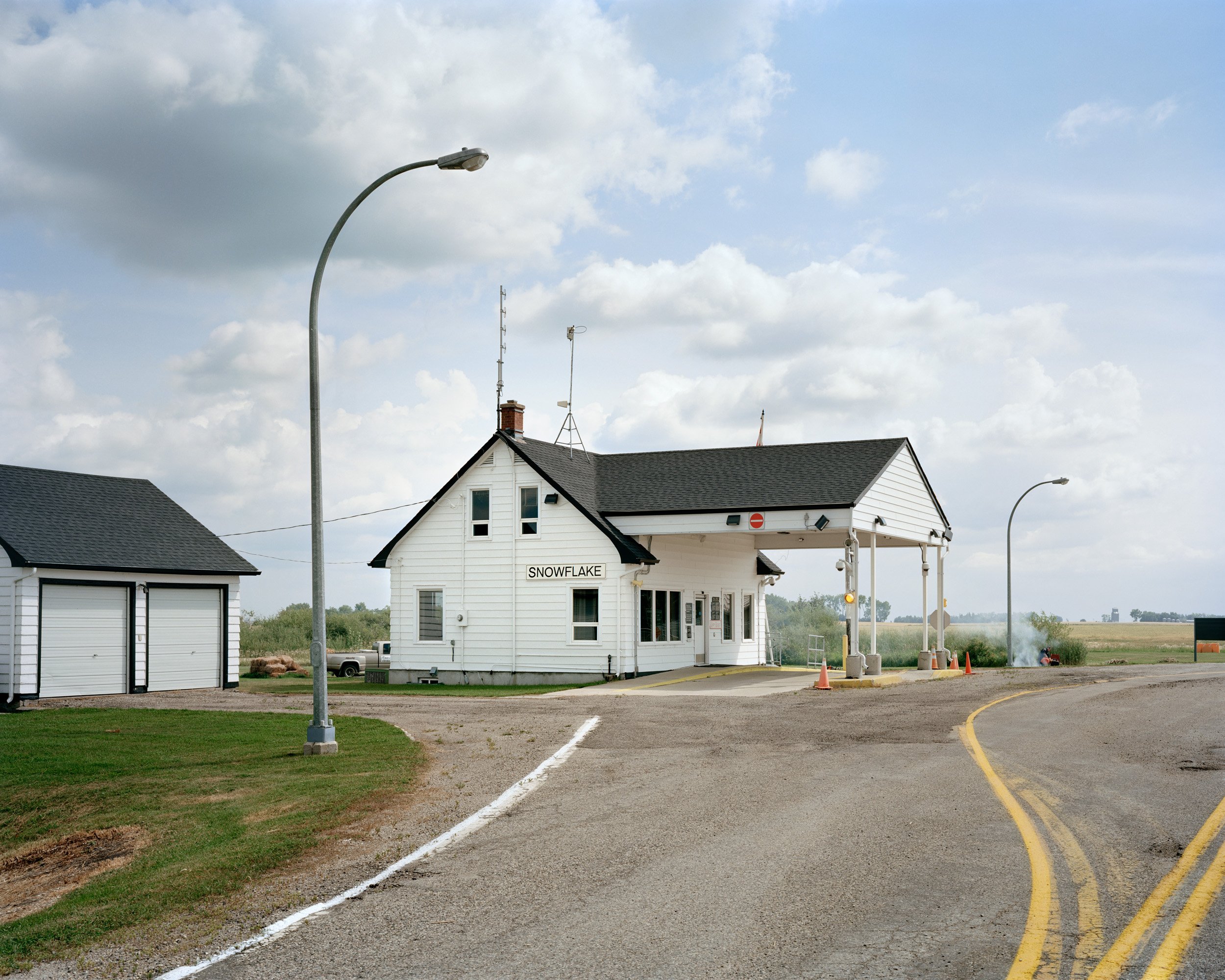
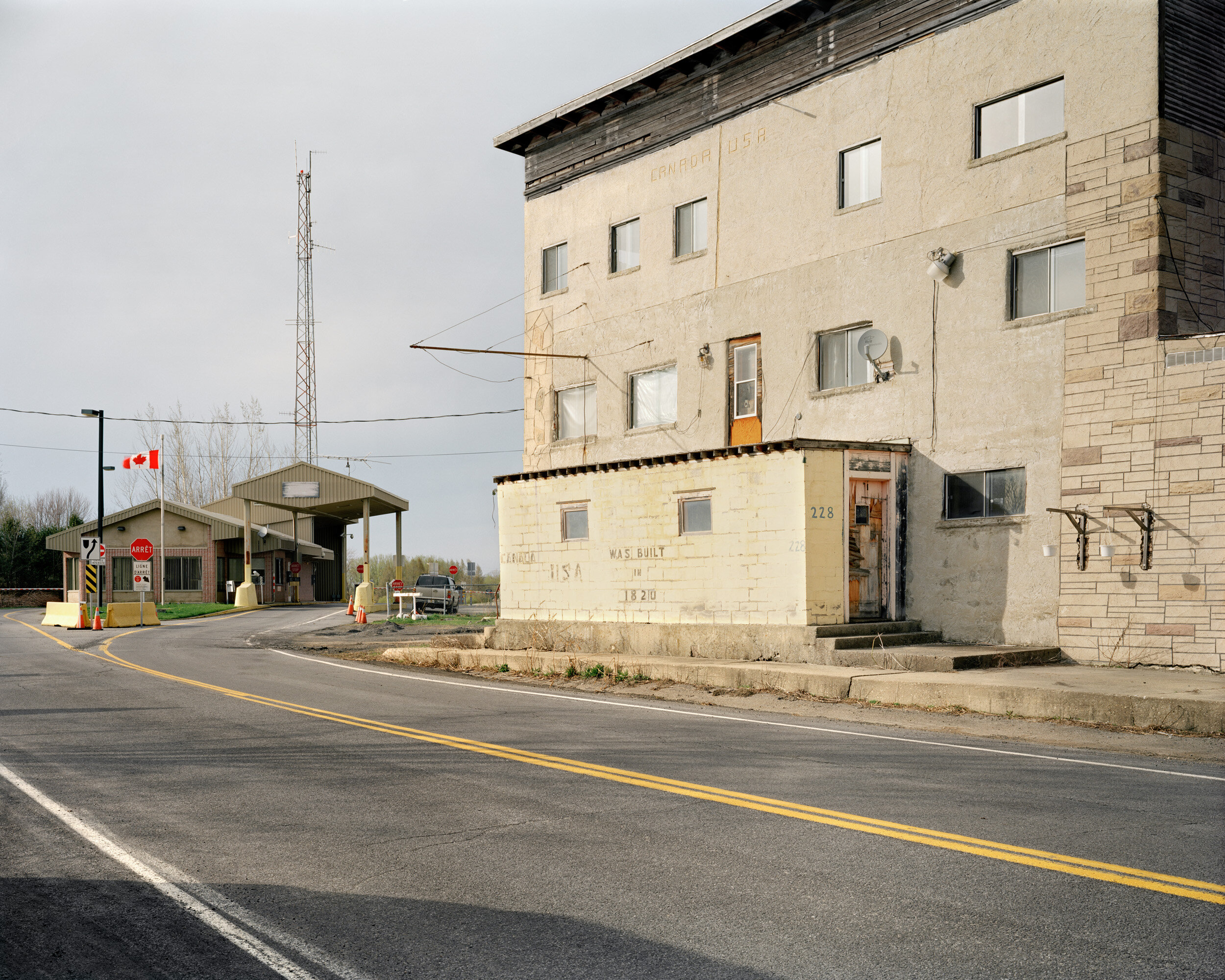
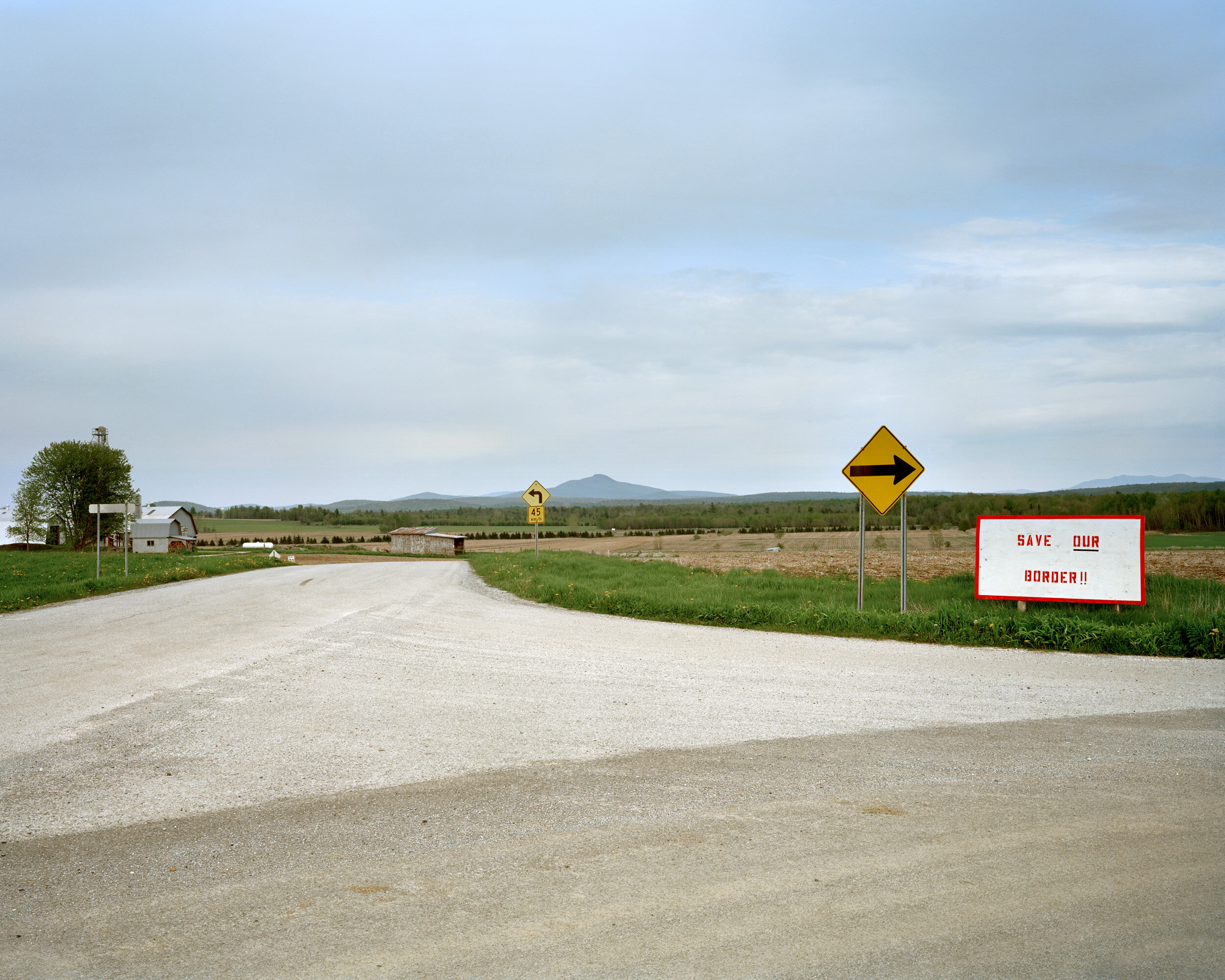
Stretching 8,891 kilometers from Tsawwassen, British Columbia, to Campobello, New Brunswick (including 2,475 kilometers shared with Alaska), the Canada/U.S. border is the longest shared land border in the world. This line travels between developed areas and wilderness; it is visibly demarcated by a six-meter-wide swath of cleared land in the forest, and over 5,500 granite, steel and concrete obelisks called “monuments.” While this border is often referred to as undefended, it is nonetheless heavily monitored under surveillance technologies.
Both the Canadian and U.S. governments utilize CCTV and thermal imaging cameras to scrutinize the border. Additionally, ground sensors are embedded under the roadways leading to dead ends, providing situational awareness for both the U.S. Border Patrol and the Royal Canadian Mounted Police (RCMP). My project Borderline features images of locations where official crossing points used to exist. Some of them are now barricaded, often in very primitive ways. At more remote locations, a no entry sign, rusted wire fence, or fallen tree is all that separates one country from the next.
While my images do not depict U.S. or Canadian border patrols, many of the photographs were taken shortly before or after the encounters with these officials. Often within a short period of my arrival at these locations, and occasionally, even prior to my arrival, a field unit would be dispatched to investigate. After the officials got to know my intent, they would move the vehicles out of my frame, so I could make the shot. However, this process is only part of what leads to the appearance of the border being so permeable in my images. There are places where I did not encounter anyone while photographing, where I could walk for hours along the denuded cutline that separates the two countries without impediment. Even though security measures discourage humans from lingering at the Canada/U.S. border, they cannot fully monitor this vast territory.
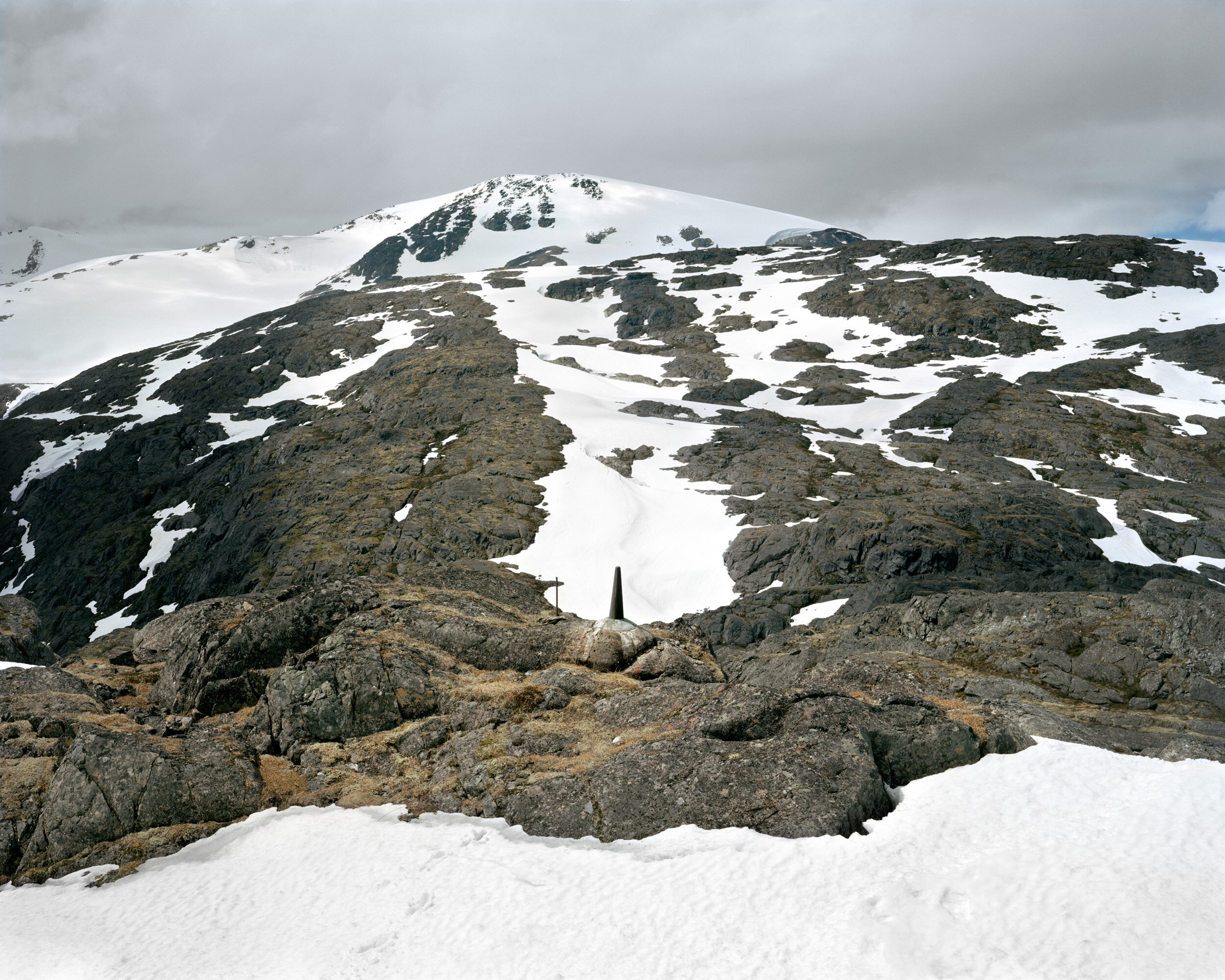
Monument #120, Chilkoot Pass, Alaska
photographed in 2014, while participating in the chilkoot trail artist residency


Cutline near Cultus Lake, British Columbia
Henderson Road, southwest of Cultus Lake Provincial Park acts as the de facto boundary line. In this photograph the roadway merges seamlessly with the cutline as it enters the hills of the Liumchen Ecological Reserve.

Chief Mountain Port of Entry
The Chief Mountain port of entry is closed annually from October 1st until May 14th. Visitors crossing during the summer months from Waterton Lakes National Park into Montana's Glacier National Park are treated to a spectacular cutline vista; a sign welcoming them to the Canadian section of Waterton Glacier International Peace Park greets those entering Canada.


International Peace Garden
Located roughly three hundred kilometres southwest of Winnipeg, the International Peace Garden is one of a number of peace parks between Canada and the United States. Visitors to the garden can take a scenic drive, enjoy a lakeside picnic, amble through the formal gardens, or reflect at the 9/11 memorial. The peace tower, built in 1982 to commemorate the garden's 50th anniversary, was demolished in March of 2017.


Garden River First Nation
Conversations surrounding Canada’s land border characteristically involve the United States, however this boundary rubs up against a number of traditional, unceded, and sovereign First Nations territories, including those of the syilx, Siksika, Haudenosaunee, and Ojibwa peoples, among many others. In the east, Walpole Island, Akwesasne, and Garden River are three particularly complex areas that negotiate agreements between traditional and elected governments on both sides of the international border.


Town of Fort Frances, Ontario
The Fort Frances welcome sign adorns the exterior of a portion of the Resolute Forest Products (formerly AbitibiBowater Inc.) pulp and paper mill. Idle since 2012, this mill was closed entirely in 2014. Once part of an extensive network of timber mills across Northern Ontario, the mill in Fort Frances used to retain upwards of 200 employees. Just across the Rainy River, the Boise Paper Mill in International Falls, Minnesota remains operational.
Taillon's International Hotel
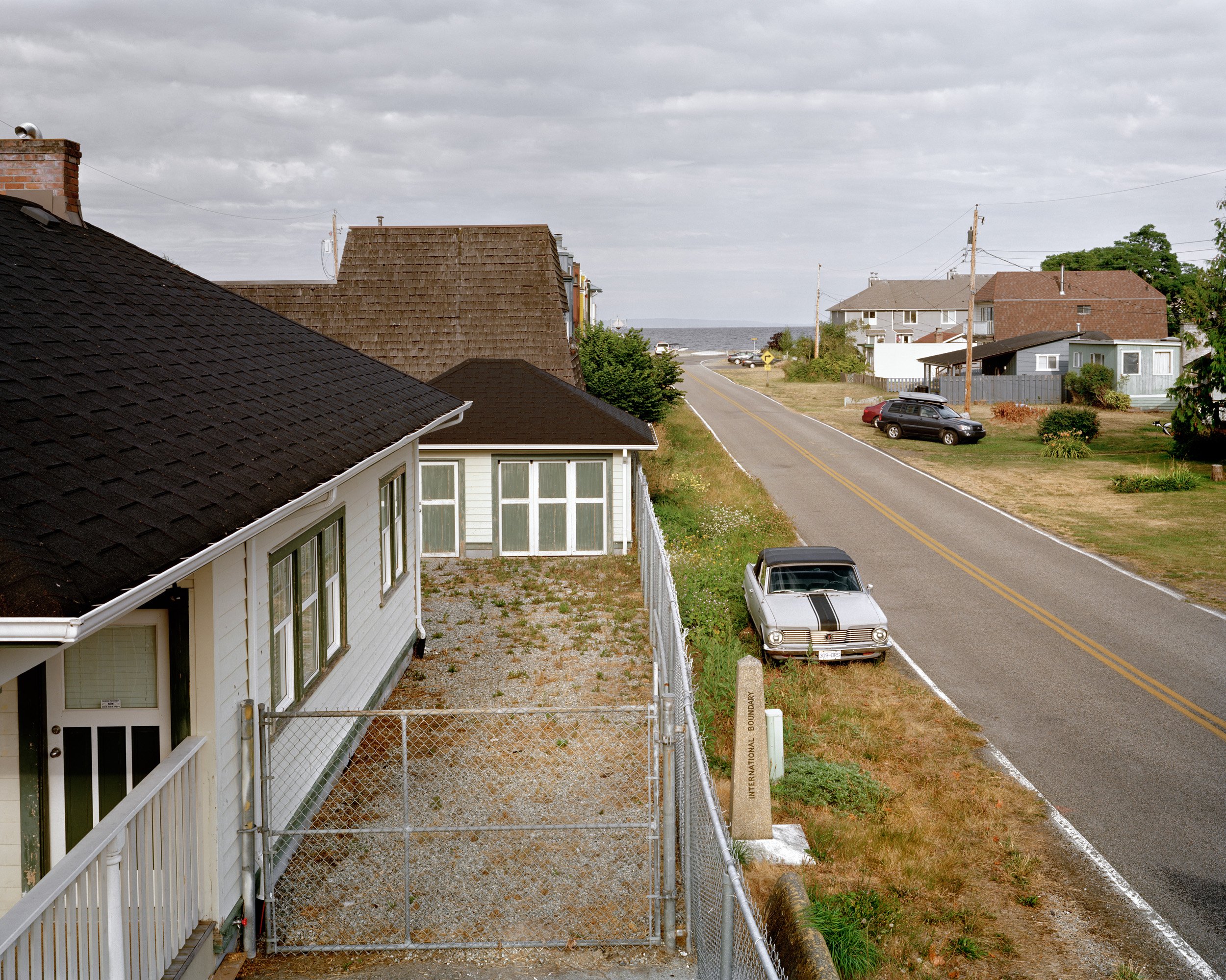
Also referred to as the Dundee Line Hotel, a photograph from Between Friends made by Michel Lambeth shows a man shooting pool inside, with a black line of paint demarcating the border between New York and Québec on the floor. The caption for this photograph reads "The owner of the hotel, Mr. Paul Maurice Patenaude, pays business taxes on the Québec side, where he has his bar, school and land taxes in both communities. The only product that he sells in New York are American cigarettes from a vending machine". Since 2001, changing regulations have made it increasingly difficult to maintain businesses that straddle the boundary. As a result, communities situated directly along the border are moving farther inside their respective nations.


Mulholland Point Lighthouse, Campobello Island, New Brunswick
The Mulholland Point Lighthouse on Campobello Island marks the easternmost point along the Canada/U.S. border. While the dramatic tides and beautiful scenery along Passamaquoddy Bay are attractive, it is the Roosevelt Campobello International Park that draws most visitors. The Roosevelt's were hardly roughing it in this massive 34-room mansion in the woods.
Click on place markers on the map above in order to explore additional texts and images